
Tokyo Stroll Supplement: Viewing Locations in Organic Maps, MapsMe, Google Maps, or Google Earth
About the book.
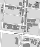
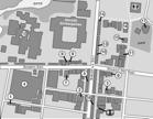
Tokyo Stroll is a guide to twenty two neighborhoods in Tokyo. I describe locations in each neighborhood that may be of interest and let you wander as you want. It comes with maps which are detailed to the point that you will know how many buildings from a corner a location is, I hate having to try to figure out where I am from vague directions. The book is for those who simply wish to wander about and look at what is there.
About Organic Maps and MapsMe.
I figure Google Maps and Google Earth are so well known they don't need an explanation. I also realize many people will prefer to not download a new map app. However please read the following descriptions of Organic Maps and MapsMe, you may want to at least try one out.
Organic Maps is a free app, that does not required a data connection, you navigate with just GPS. The maps are also free, unlimited maps in Organic Maps.
MapsMe is free to download, however you are limited to ten maps without paying a monthly high fee. This is one reason I now prefer Organic Maps.
If you are using Organic Maps or MapsMe on a device that does not have GPS you still have very detailed maps to use.
Not requiring a data connection has advantages:
- No extra data fees while traveling to other countries.
- A data connection may not exist if you are in a place outside urban areas.
Adding Organic Maps or MapsMe to your smartphone or tablet:
- On your smartphone or tablet go to the Organic Maps or MapsMe website and download the app.
- Then in the download the Kantō Region maps for Tokyo and adjacent areas.
The location bookmarks to use with Organic Maps, MapsMe, Google Maps, and Google Earth:
I have created bookmark lists of sites in Tokyo Stroll and this supplement to use with the Organic Maps, MapsMe, Google Maps or Google Earth. You don't need to own the book to use the bookmarks but it does explain what each item in the TokyoStroll.kmz bookmark file is.
NOTES:- Clicking on a link below will download the bookmarks file.
- Only Organic Maps and MapsMe will display the different colors. Google Maps and Google Earth will only display one color.
- It is much easier to import the bookmark files into Organic Maps or MapsMe than into Google Maps or Google Earth.
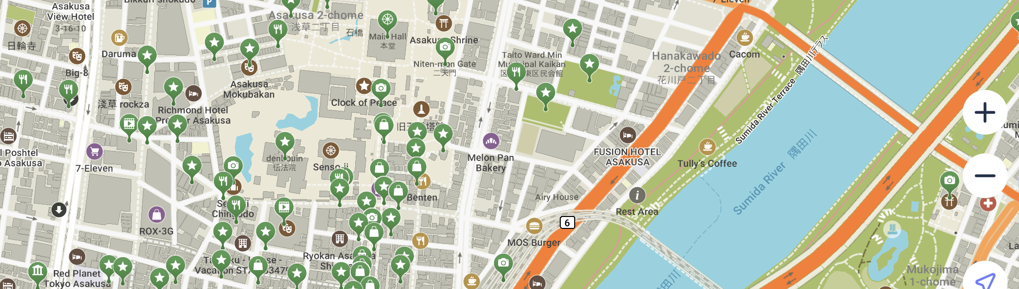
TokyoStroll.kmz These indicate items with entries in Tokyo Stroll and show up as Green or Blue in Organic Maps or MapsMe. In a few cases these may be a branch of business that is described on a different detail map.
NOTE: Blue bookmarks indicate an entry in Tokyo Stroll that has had a location change, name change, or closed temporarily or permanently. Blue bookmarks have a note with further information which is visible when you tap on that bookmark
TokyoSuppl.kmz These are items listed in this Tokyo Stroll web supplement as well as some branch locations of businesses on different detail maps in the book and show up as Red in Organic Maps or MapsMe.
TokyoHandy.kmz These are useful locations such as kōban, rail and subway stations, landmarks, etc.and show up as Purple in Organic Maps or MapsMe
Non-Kanto.kmz These are places I have bookmarked for friends and myself for trips outside the Kantō area these show up as Blue Gray in Organic Maps or MapsMe
Using the Bookmarks in Organic Maps or MapsMe
Bookmark and List Updates:
The bookmarks will be updated on occasion, these will be announced on my blog.